Satellite Image → Place

Quiz yourself on this materialSatellite Image → Place

ImagePlace
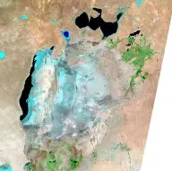
Satellite view of a fragmented pale-blue inland sea in tan desert, with an elongated dark remnant on the west and several separated northern pools.Aral Sea
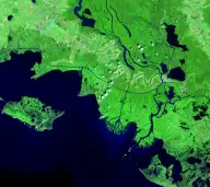
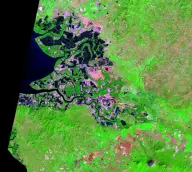
False-color satellite view of bright green wetlands cut by branching channels as a river reaches a broad dark-blue bay.Atchafalaya Delta
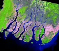
False-color satellite view of a wide fan-shaped delta where many parallel distributaries cross green and pink farmland before reaching the sea.Ayeyarwady Delta
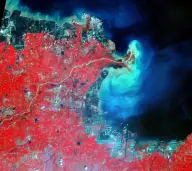
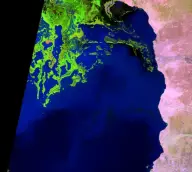
False-color satellite view of a river entering a dark sea through a pale turquoise sediment plume beside vivid red agricultural land.Huang He Delta
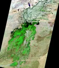
Satellite view of green seasonal wetlands spreading across a dry tan plain, with branching river channels forming far inland rather than along a coastline.Niger River Inland Delta
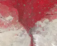
False-color satellite mosaic of an immense red triangular agricultural plain surrounded by pale desert, with a narrow river extending south.Nile River Delta
False-color satellite view of bright green wetlands and branching channels extending into the northern end of a long dark-blue lake.Omo River Delta
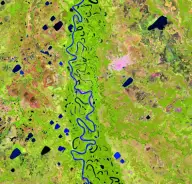
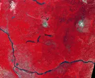
False-color satellite view of a highly sinuous blue river crossing green lowlands dotted with many crescent-shaped oxbow lakes.Mamoré River
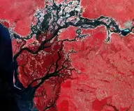
False-color satellite view of dark branching tidal channels weaving through red wetlands before opening into coastal water.Saloum River Delta
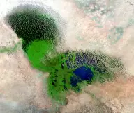
Satellite mosaic of a shallow lake largely covered by dense green marsh vegetation, with blue open water and dark vegetated islands.Lake Chad
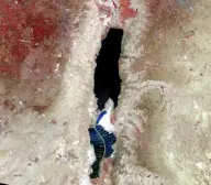
Satellite view of a long, narrow, nearly black lake in a pale desert rift, divided near its southern end by geometric evaporation ponds.Dead Sea
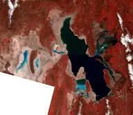
False-color satellite mosaic of an irregular inland lake split by causeways into dark green, blue, and reddish sections amid red mountains and tan flats.Great Salt Lake
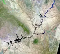
Satellite view of a dark branching reservoir filling a maze of narrow desert canyons, with long finger-like arms extending in many directions.Lake Powell
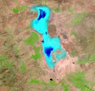
Satellite view of a bright turquoise, irregularly shaped salt lake surrounded by tan land and crossed near the middle by a thin causeway.Lake Urmia
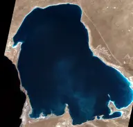
Satellite view of a large dark-blue desert lagoon connected to a much larger sea by an extremely narrow channel at the western edge.Kara-Bogaz-Gol
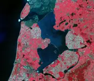
False-color satellite view of dark enclosed water divided by long straight dikes and surrounded by precisely rectangular red and green farmland.IJsselmeer
False-color satellite view of coastal wetlands patterned with rectangular shrimp ponds and winding mangrove channels, beside dark water and a solitary cone-shaped volcano on land.Gulf of Fonseca
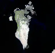
Satellite view of a pale elongated desert island surrounded by black water, with dense gray development along the northeast coast and artificial islands offshore.Bahrain
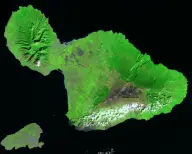
Satellite view of a green double-lobed volcanic island formed by two mountain masses joined by a narrow central plain, with a smaller island nearby.Maui
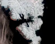
Satellite mosaic of rugged snow-covered islands divided by dark fjords, with glaciers flowing from white interior ice fields toward the coast.Svalbard
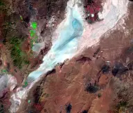
Satellite view of a long pale-blue dry lakebed enclosed by brown desert mountain ranges, with a darker curved edge along one side.Black Rock Playa
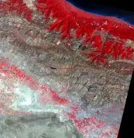
False-color satellite view of parallel folded mountain ridges, with vivid red forested northern slopes fading into a gray arid basin to the south.Elburz Mountains
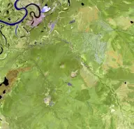
Satellite view of green boreal terrain cut by a pale branching, tadpole-shaped depression, with a dark winding river near the upper edge.Batagaika Crater
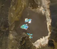
Satellite view of a vast brown salt basin bordered by mountains, with a cluster of brilliant turquoise and white evaporation ponds near its center.Salar de Atacama
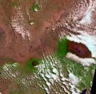
Satellite view of an isolated circular mountain rising from brown plains, with radial valleys, scattered clouds, and a small bright summit ice field.Mount Kilimanjaro
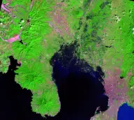
False-color satellite view of a dark crater lake amid radial ridges, pink mudflow channels, and bright green vegetation.Mount Pinatubo
False-color satellite view of a volcanic cone with a breached horseshoe-shaped crater, pale debris zone, and dark lake amid red forest.Mount St. Helens
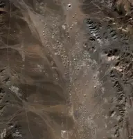
Satellite view of an arid brown basin densely pocked with dozens of small circular craters, bordered by rocky ridges.Yucca Flat
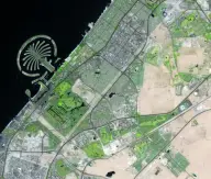
Satellite view of a palm-tree-shaped artificial island enclosed by a curved breakwater and connected by a narrow trunk to a dense coastal city.Palm Jumeirah
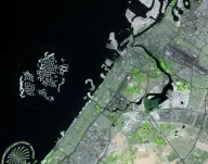
Satellite view of hundreds of small artificial islands arranged like a world map offshore from a gridded coastal city, with a palm-shaped island nearby.The World Islands
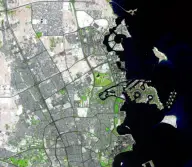
Satellite view of a circular artificial island district with marinas and curved breakwaters, attached to a dense city beside a dark bay.The Pearl-Qatar
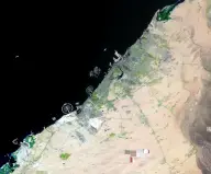
Satellite view of a long pale coastal metropolis beside dark sea and tan desert, crossed by highways and bordered by extensive new development.Dubai
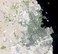
Satellite view of a dense gray city spreading around a deeply curved dark bay on an otherwise pale desert peninsula.Doha
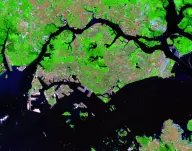
False-color satellite view of a dense island city beside a narrow strait, with bright green vegetation, gray development, docks, and many ships offshore.Singapore
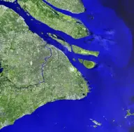
Satellite view of an enormous city surrounding a wide muddy river as it bends toward the sea, with long narrow islands at the estuary.Shanghai
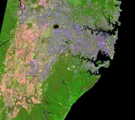
False-color satellite view of a vast coastal city wrapped around a branching natural harbor, with dense pink development and green reserves.Sydney
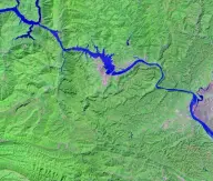
Satellite view of a wide river and long narrow reservoir winding through steep green terrain, with a straight dam and lock complex crossing the channel.Three Gorges Dam
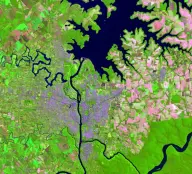
False-color satellite view of a broad branching reservoir behind a large dam on a north-south river, surrounded by bright green and pink farmland.Itaipú Dam

SourcesUSGS Earthshots Landsat Imagery for Satellite Image to Place